
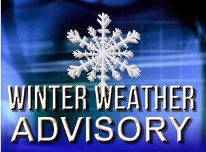
 Winter weather alert is in effect for later this week:
The weather forecast shows another winter storm to help complicate our schedules again this week.
On Thursday look for scattered snow showers early with steadier snow developing late in the day.
The high will be near 30F with NE winds at 10 to 15 mph. The chance of snow is 70%. Snow accumulating 1 to 3 inches.
Periods of snow in the evening will transition to a wintry mix overnight. The temperature will drop to a low of 26F with NE winds at 10 to 15 mph. The chance of precipitation is 100%. Prepare for 3 to 5 inches of snow and ice.
Look for a mixture of winter precipitation in the morning. Then snow mixing with rain at times in the afternoon.
The temperature will be nearly steady in the mid-30s with NNE winds at 10 to 15 mph. The chance of precip is 80%. Snow and ice accumulations of less than one inch during the day.
During the evening, expect scattered snow flurries and snow showers before midnight. Becoming partly cloudy later. The low will dip down to 23F. The NW winds will remain at 5 to 10 mph. The chance of snow is 30%.
Editor’s Note: Please be careful out there.